


AGM 2026 Minutes Published
The minutes of the meeting on Monday, 19 October 2026, have been published. You can find them under the menu Docs & Webpages.
___________________________
Report on DMMO inquiry for the path between Caker Lane and Hangers Way. 28th April 2026.
The inquiry lasted one whole day, plus another 1 hour Teams call for closing remarks. Over 30 people from Alton (Ramblers, Councillors etc). This was most welcome.
The Inquiry proceedings were centred on the point of law, namely, was the path in question informally used sufficiently in the 20 years prior to the application by Gill Plumley to make this a defined path at HCC. All issues of safety, usefulness and resident’s well-being were set aside, so Alton Ramblers declined to speak, since it had no evidence of path use per se to put forward. However, we did present our case for adoption of the path on safety and usefulness.
Read more: Report on DMMO inquiry for the path between Caker Lane and Hangers Way. 28th April 2026.
Alton Ramblers Enjoy a Successful Lake District
Walking Week with French Friends

On Monday 22 June 2026, eleven members of Alton Ramblers welcomed one Bromley Rambler and thirteen walkers from Les Mille Pattes, the walking group from Alton’s twin town Pertuis in France, for a memorable week of walking in the Lake District.
Recording Walks for the Routes Library
I was talking to someone last week, and they were discussing a walk in which the walker was struggling with a steep climb, as they did not realise how challenging the walk was. Walk leaders can help walkers by recording their walks when the rece is completed and publishing it via the Routes Library. Ramblers can see the route and how difficult it is.
To complete the recording:
- Open up the OS Maps app
- Press the [Record] button and [Start Recording]
- At the end press the [Pause] button and then [Finish]
- Enter a title and press [Save]
- Click on the [Saved] button at the bottom.
- Click on the title of the route just recorded.
- Click on [Export GPX] and click on your email icon (e.g. GMail). It will open up with a .gpx attachment.
- Email to the webmaster – if you don't have my email, contact me via the Contact Us page.
I will load it and let you know when it's done.

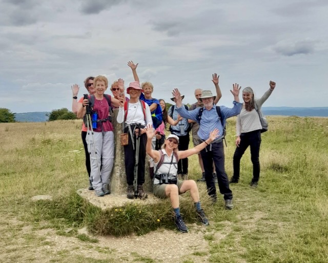
Why I am a member of Alton Ramblers
I have always loved walking, enjoying local walks in Hampshire, many of Britain’s long-distance footpaths, the hills and mountains of our National Parks and organising guided mountain walks overseas. I feel privileged to have lived in Medstead for the past 35 years, with a superb network of paths and tracks in my backyard, which I never tire of exploring.
I joined Alton Ramblers 8 years ago with the aim of finding new walks and meeting like-minded people. Although I love walking on my own and with my husband and family, as I approached retirement I also had a desire to walk in a group. Alton Ramblers has exceeded my expectations by introducing me to wonderful new areas that I have never walked in before and to a new circle of walkers and friends. I really appreciate the ability to decide I want to join a walk at the last minute without needing to plan and book in advance, and I love the small group size.
As a keen walker, it is great to be able to help keep our local paths open and accessible by volunteering with our Footpath Maintenance Team to clear overgrown vegetation and waymarkers, gates, steps and other necessary hardware. I also enjoy regularly checking my village paths and reporting any issues that I encounter.
And there is also a superb, varied social programme that gives us the chance to get together without wearing our walking boots and walking holidays, both in the UK and abroad, to enjoy.
I hope I can continue to enjoy Alton Ramblers for many years to come!
Louise Fletcher, Membership Secretary
___________________________
Walking in Europe
You probably already know that membership in the Ramblers assigns you to a local walking group, but you have unlimited access to walk with over 500 groups across England, Scotland, and Wales.
In addition, the Ramblers are a member of the European Ramblers Association (ERA). An ERA-affiliated organisation is part of a network of over 60 walking organisations in 30+ countries. There is no formal "free entry" to paid events, but most European clubs will welcome Ramblers members on their group walks for free or at the local member rate upon presentation of your membership card. It is a "gentleman’s agreement" of mutual hospitality rather than a legal entitlement.
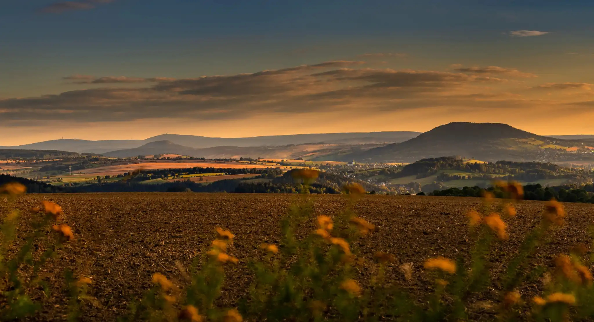
This year Eurorando 2026 is being run, which is a European hiking festival taking place from September 20-27, 2026, in the beautiful Ore Mountains (Erzgebirge) along the German-Czech border. Ramble through stunning landscapes with a selection of 50+ trails, from scenic walks to challenging hikes.
Perhaps there is a local group that you could join the next time you are walking in Europe.
___________________________
New Walking Routes for 2026
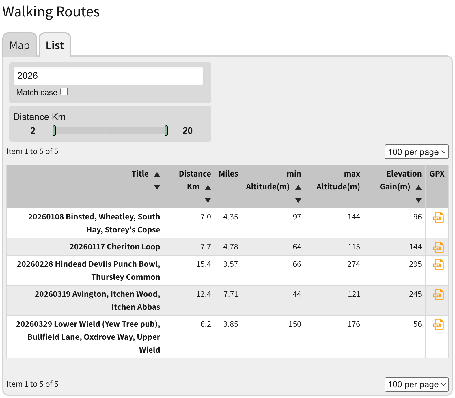
In 2026, we added five new walking routes to the library of over 200 routes. If you're a walk leader or walker, please share your walking routes by recording them using the OSMaps app and exporting a GPX file for loading into the library. Email it to the webmaster for sharing with our walking community. You can find the latest routes by searching for '2026' in the routes library.
___________________________
Steps in Froyle - 18th & 25th March 2026
 |
 |
 |
 |
||
___________________________
Page 1 of 2